Map-based intelligence for everyone!
Ajit Deshpande - October 31, 2013 - 0 Comments
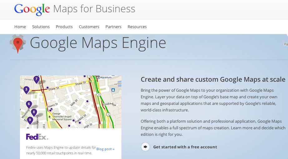 Last week, Google launched Maps Engine Pro, a cloud-based software tool designed to let businesses organize and visualize geo-spatial data. Priced at $5 per month per user (there is also a free tier for businesses with limited usage levels), this tool allows small and medium sized businesses to create internal- and external-facing maps that utilize its data to make business decisions around asset tracking, sales territories, route optimization and so on.
Geo-spatial mapping and cartography platforms have been around for more than four decades – GIS software company ESRI (which has annual revenues of more than $1 billion) was set up in 1969 and MapQuest has been around since 1967 (in different forms until 1994 when it morphed into an internet browser app). The factors that have rejuvenated this traditional industry over the past decade or so have been the advent of the cloud, mobility, GPS devices, and most importantly the continued evolution of feature-rich and user-friendly Google Maps. In fact, from a data visualization perspective, ESRI, with its desktop ArcGIS platform and shapefile format is still the dominant high-end / desktop player, but on the SMB / consumer / cloud fronts, Google Maps dominates, with 1 billion monthly users and over 1 million active sites and apps using its APIs. In this context, the introduction of Google Maps Engine not only enables Google to better engage its SMB customers for a small fee, but it also drives geo-spatial business intelligence mindshare further towards the cloud, which is Google’s forte and ESRI’s weakness. What this product introduction also means, is that cloud-based geo-spatial business intelligence could become more commonplace going forward, presenting growth opportunities for service and consulting businesses in the SMB segment. For larger scale applications such as in logistics hubs, utilities etc., probably not much should change, with the likes of ESRI and Opus-portfolio company Space-Time Insight continuing to provide customized, centralized, on-premise data visualization systems for such use-cases.
There are a number of inefficiencies in the world that can be mitigated by the proper use of map-based business intelligence – maintenance, logistics, scheduling, tracking, queuing and so on. So far, the SMB world has had limited ability to address these inefficiencies, so let’s hope that Maps Engine kick-starts a movement towards spatially optimized businesses.